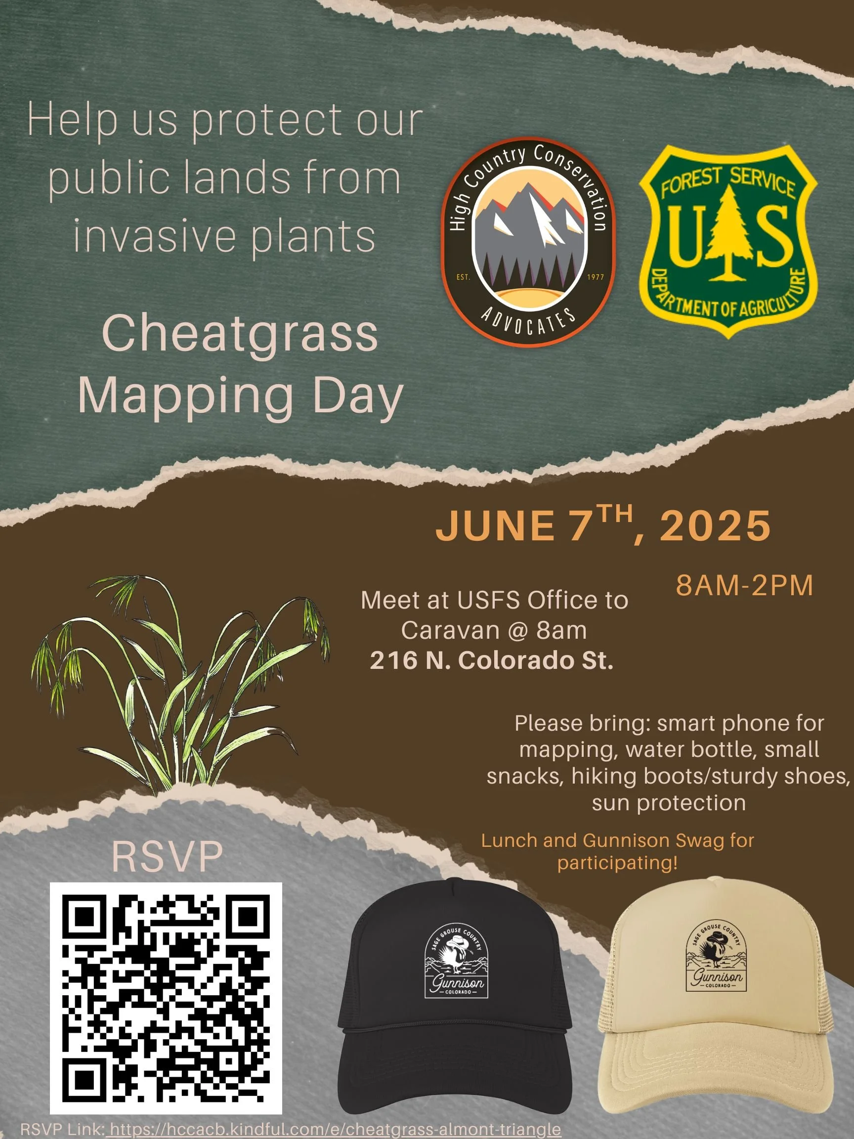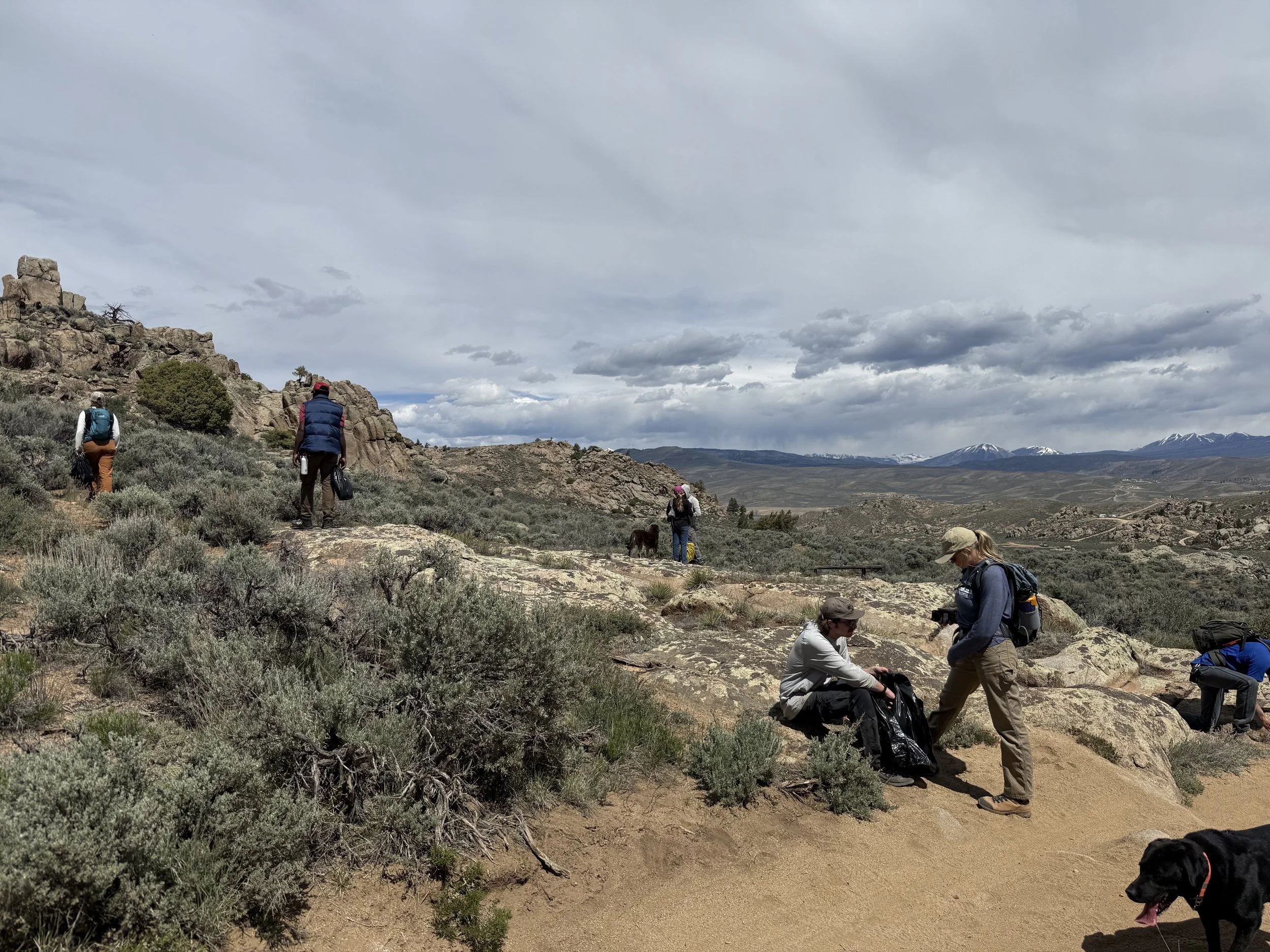
Join us for a Cheatgrass Mapping Day at the Almont Triangle! Help protect one of the Gunnison Valley’s most cherished recreation corridors and vital wildlife habitats from the spread of invasive cheatgrass. Early detection and monitoring are critical to preventing land degradation and supporting healthy sagebrush ecosystems.
When: June 7th @ 8am Where to meet: Gunnison ranger district office (216 N Colorado St.)
What to bring: A smartphone for mapping, sturdy shoes, sun protection, snacks, and water.
What will be provided: Lunch will be provided by High Country Conservation Advocates, and all participants will receive a custom "Sage Grouse Country" hat upon completion.
Why: Cheatgrass (downy brome), a highly invasive annual species, poses a significant threat to the sagebrush ecosystems in the Gunnison Country. It degrades critical habitat for the Gunnison sage-grouse and other wildlife, reduces forage available for livestock, and increases the frequency and intensity of wildfires. Early detection is key to controlling its spread. CheatMaps, an app developed through a capstone project at Western Colorado University, helps land managers map and monitor cheatgrass more effectively, providing a vital tool for early intervention and long-term management.
Download CheatMaps prior to the event: https://linktr.ee/cheatmaps
Let’s come together to support adaptive land management and protect the places we love!